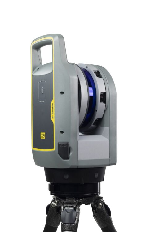
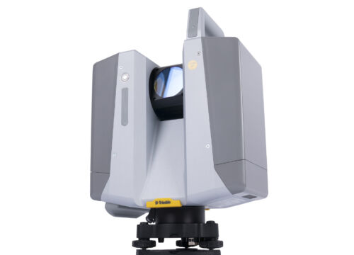
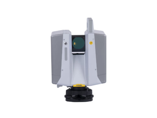
-
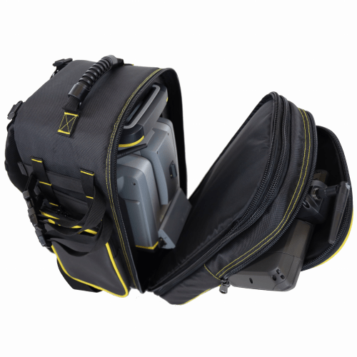
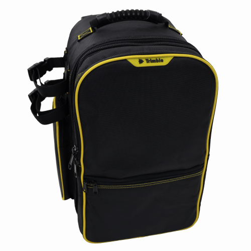 Features include: • Main compartment with custom foam insert for all Trimble S Series and VX instruments • Removable front compartment with built in backpack straps. Contains large front pocket for data collector and small front half pocket for small item storage • Side pockets for miscellaneous accessories•Padded back and adjustable shoulder straps for comfort • Durable 1680D Polyester fabric • Webbing system on both sides and bottom for securing additional equipment (2 straps included) • Airline carry-on compatible for most aircraft Approximate dimensions with instrument inside*: (*Note Instrument sold separately) Overall Dimensions: H: 440mm x W: 325mm x D: 305mm (17.25” x 12.75" x 12") Main instrument compartment depth when separated D: 216 mm (8.5”) Front controller compartment depth when separated D: 89mm (3.5”)
 -
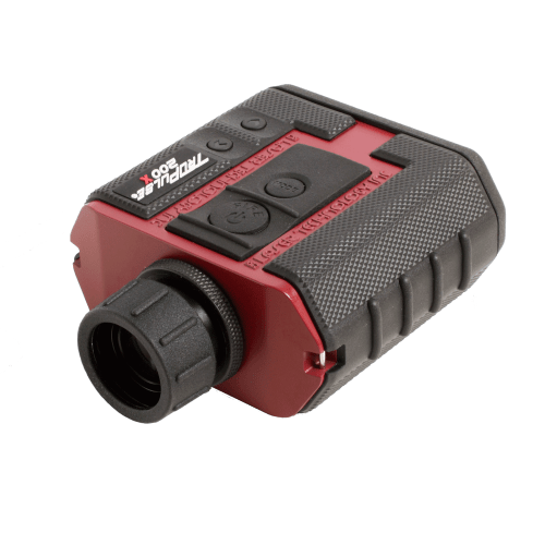
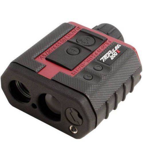 The TruPulse 200X laser rangefinder was designed to make high precision measurements for professionals working in challenging field conditions. The 200X provides an in-scope LED display that easily adjusts to varying light conditions, with its advanced inclination and distance accuracy, makes this laser rangefinder the most progressive product in the TruPulse Series line. Contact your local Mapping GIS Sales Professional for a demonstration and full details.
 -

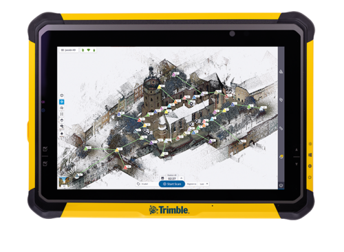
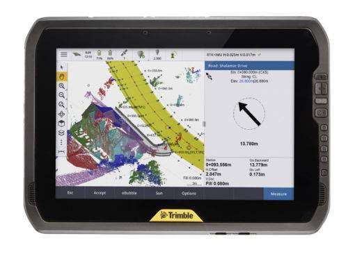 You can depend on It. The T100 is Trimble’s latest high performance tablet. With a sleek, rugged design and 10-inch touchscreen you can read in any conditions, the T100 handles anything the work day dishes out. See full datasheet here. The T100 at a glance...
- Large 10.1-inch touchscreen.
- Full Windows desktop applications.
- Integrated long life battery.
- Ergonomic design.
- Expandable Trimble EMPOWER modules.
- Enjoy the convenience of an all day battery—for a full days work, every day.
-
 Trimble Business Center is Office Software for Surveyors. Contact us for a demonstration and/or quote. Complete your field to finish workflows and expand business opportunities with unique deliverables:
- Topographic base map creation for construction and land development
- Cadastral/ALTA drawings for boundary mapping
- Workflow automation through using templates and feature coding
- Perform Cut/Fill Map analysis, Corridor Design, Inspections and Volume Computations
-
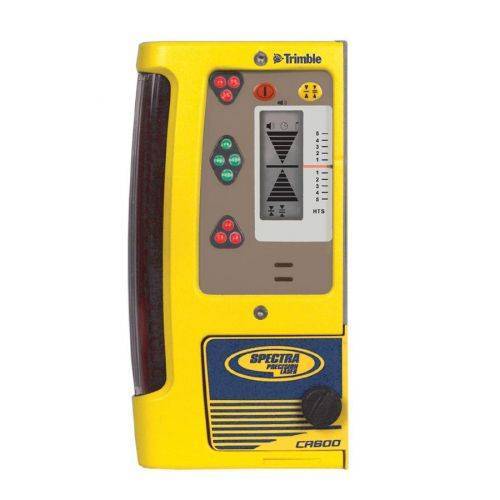
 The HL450 Laser Receiver features a digital readout of elevation that provides a numeric display of ± 40 mm or ±1.5 inches. The readout is displayed on the large front and rear LCD’s and shows exactly how far the elevation is from on-grade. Accurate measurements can be made without moving the rod clamp, saving time and increasing productivity.
 -
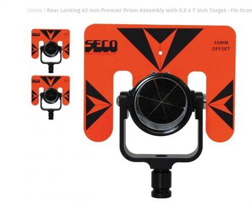 Seco Rear Locking 62 mm Premier Prism Assembly with 5.5 x 7 inch Target;
- Incorporates a simple stainless steel locking mechanism that’s easy to set while adjusting the prism and target tilt
- The heavy-duty 62 mm silver-coated prism is sealed in a strong canister with an ‘O’ ring to prevent water and dust from getting inside
- The prism can be mounted in either 0 or -30 mm offset positions
- Tilting axis height is 115 mm
- 5.5 x 7-inch Target size
- Target Color is Flo Orange with Black
- Weighs 1.59 lb (0.72 kg)
-
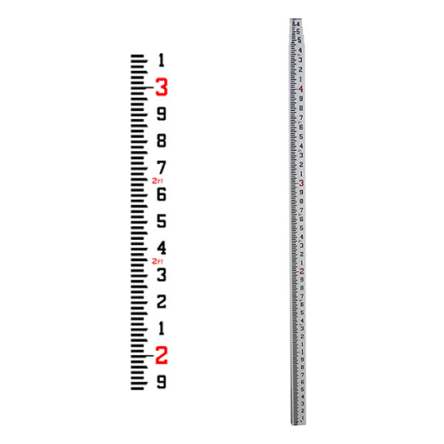
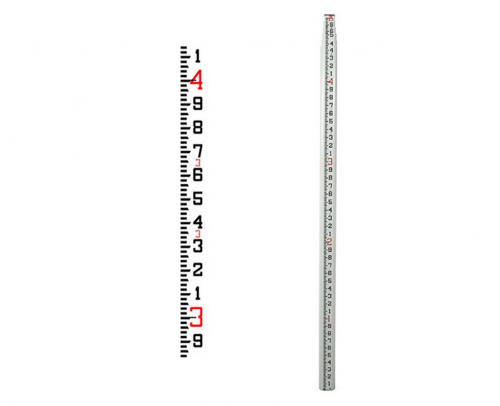
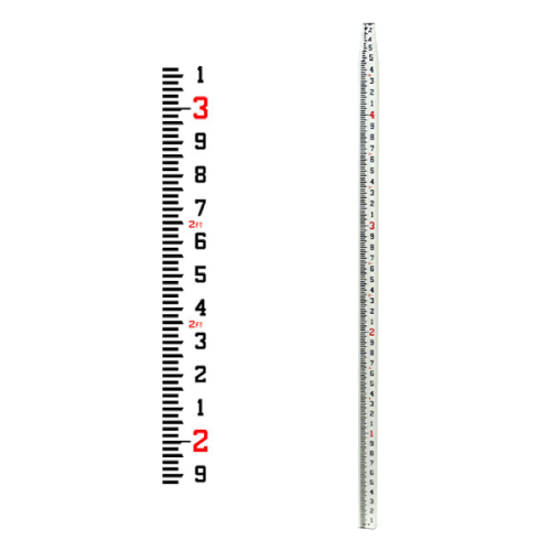
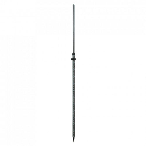
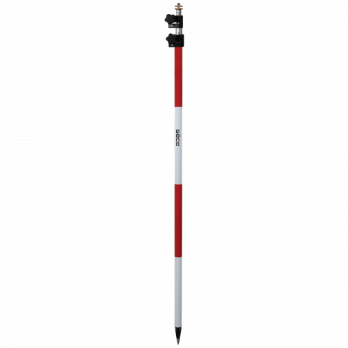
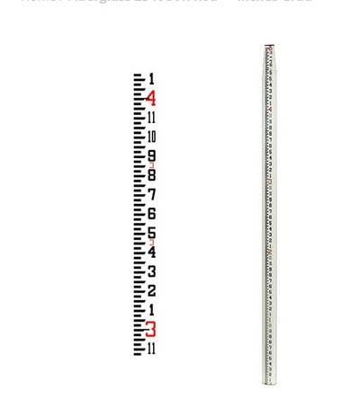 Features a new shorter collapsed length 58.5 inches and a lighter weight,Constructed of strong, rigid fiberglass with reinforcing ribs for added stability,Waterproof and non-conductive,The rectangular-oval shape allows for wide, glare resistant scales that are wear-resistant,Tight locking mechanism features round buttons that resist jamming from sand and dirt,Features a 1/4 x 20 female adapter in top section,Graduations 8ths, Length 25 ft and Weighs 6.00 lb (2.72 kg)
 -

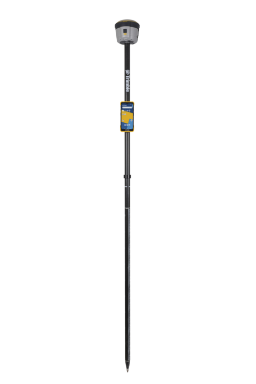
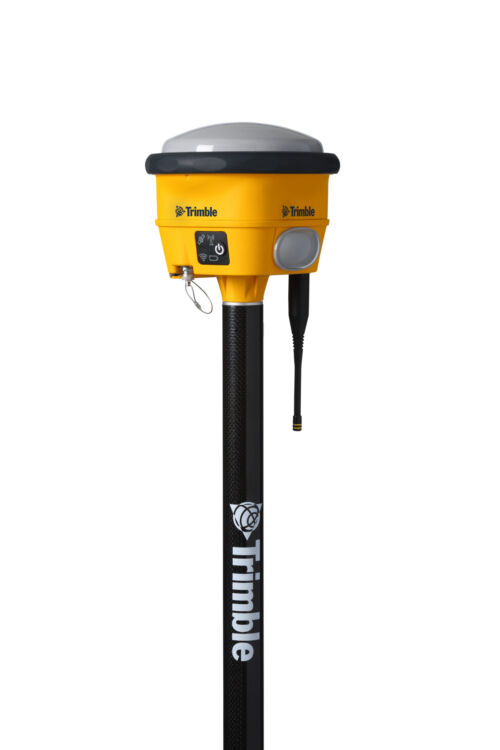
 Unmatched GNSS Performance With Connected Workflows to Elevate Survey Productivity. The Trimble® R980 GNSS system unlocks peak accuracy and connectivity with proven Trimble GNSS performance, now more powerful than ever before. Trimble ProPoint® GNSS technology ensures robust data capture even in tough environments, while high-performance Trimble Inertial Platform™ (Trimble TIP™) IMU-based tilt compensation keeps you focused on the job at hand.
 -
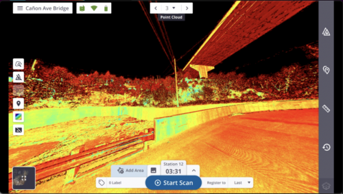
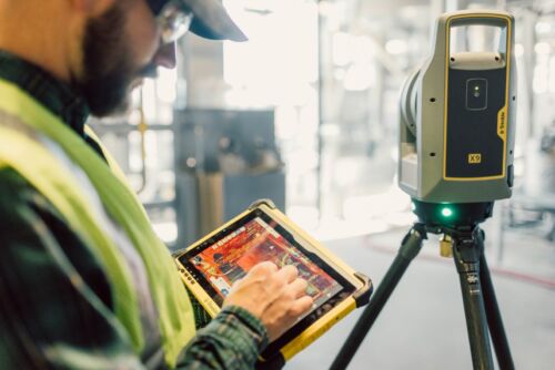
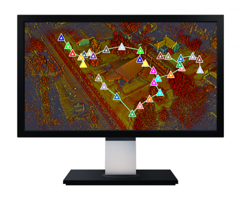 Trimble Perspective field software is specifically designed for in-field scanner control and complete registration when working with a Trimble 3D laser scanning system like Trimble X9 or X12.
 -
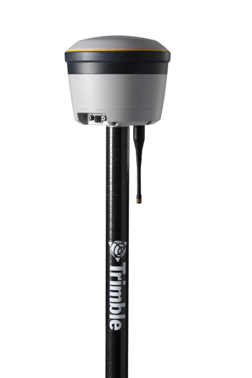
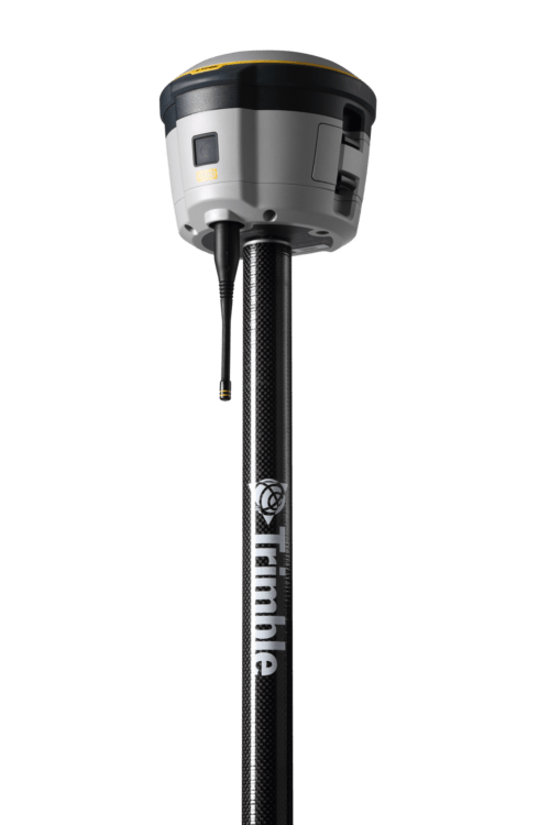 Proven reliable positioning
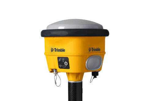
Depend on the Trimble® R580 GNSS system to keep you working with survey precision. Powered by the industry-leading Trimble ProPoint® GNSS engine, this everyday integrated receiver delivers greater productivity and reliable accuracy in more places.
Benefits and performance
With increased accuracy and reliability in difficult urban and rural environments, the Trimble R580 optimizes productivity using powerful GNSS technologies for maximum results.Productivity maximized
The Trimble R580 harnesses Trimble ProPoint technology so you can survey with precision in difficult places, boosting field work productivity like never before.Trimble dependability
With proven technology to guard against anti-spoofing and multipath issues, the dependable R580 provides confidence for every measurement and point you capture.

